
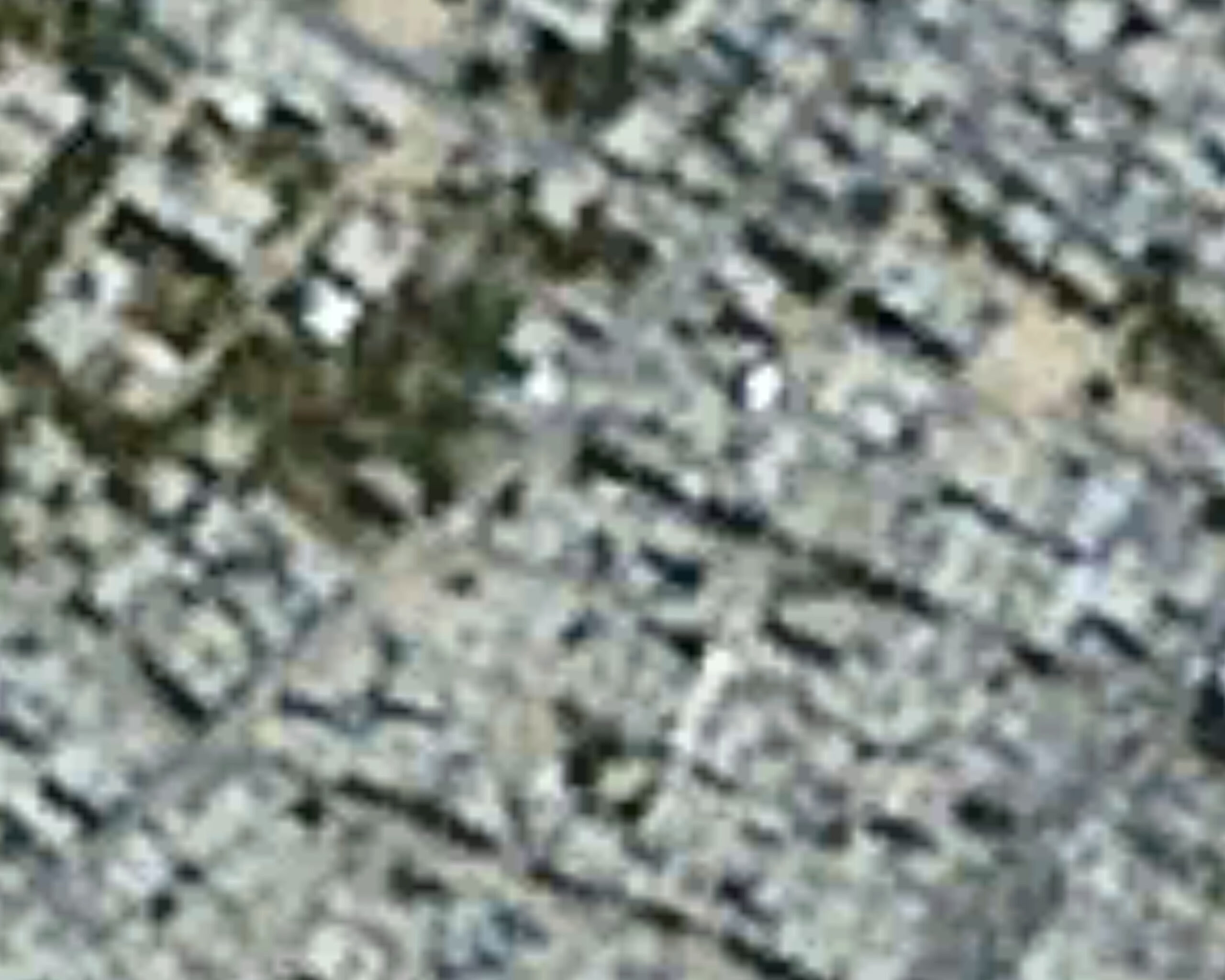
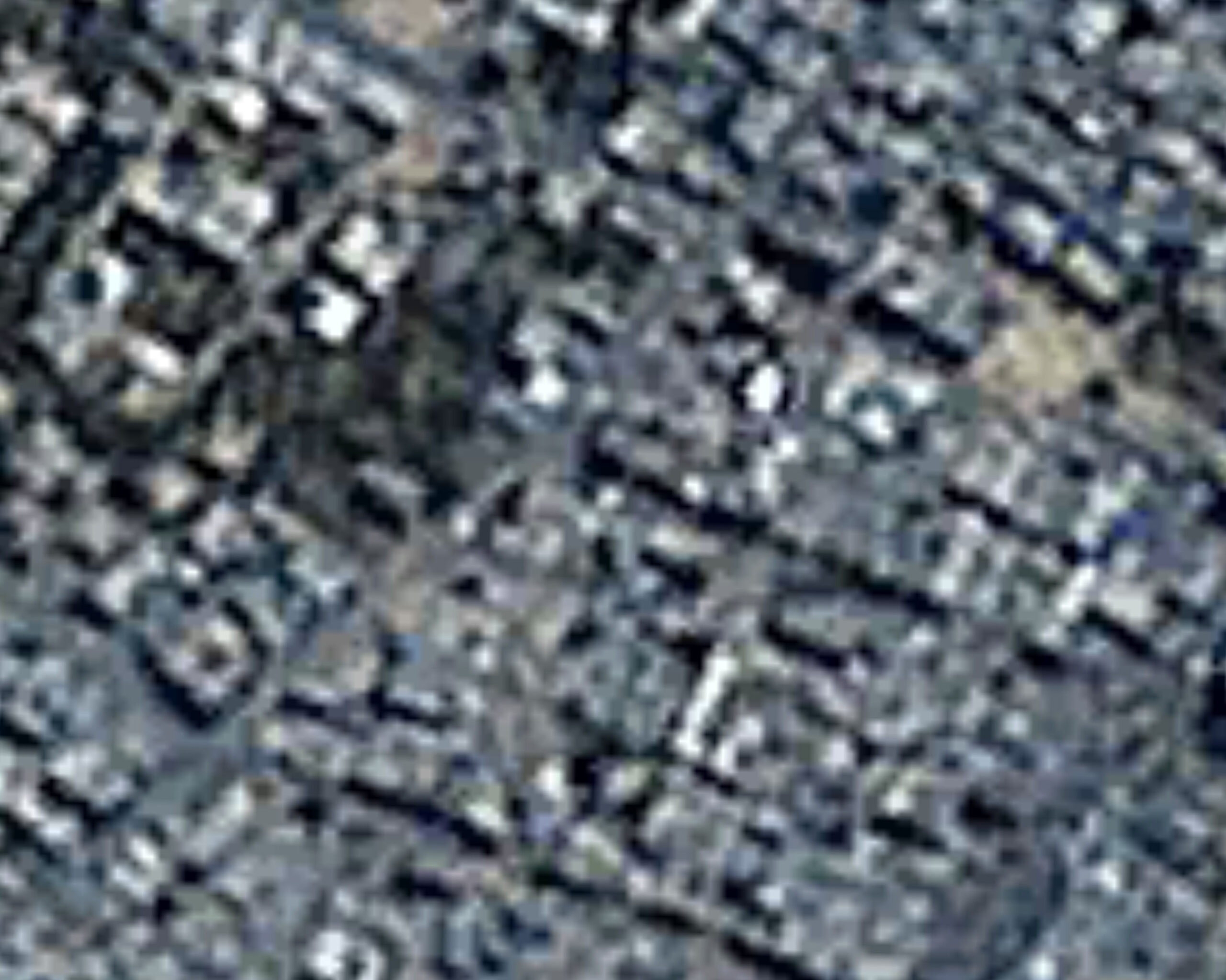
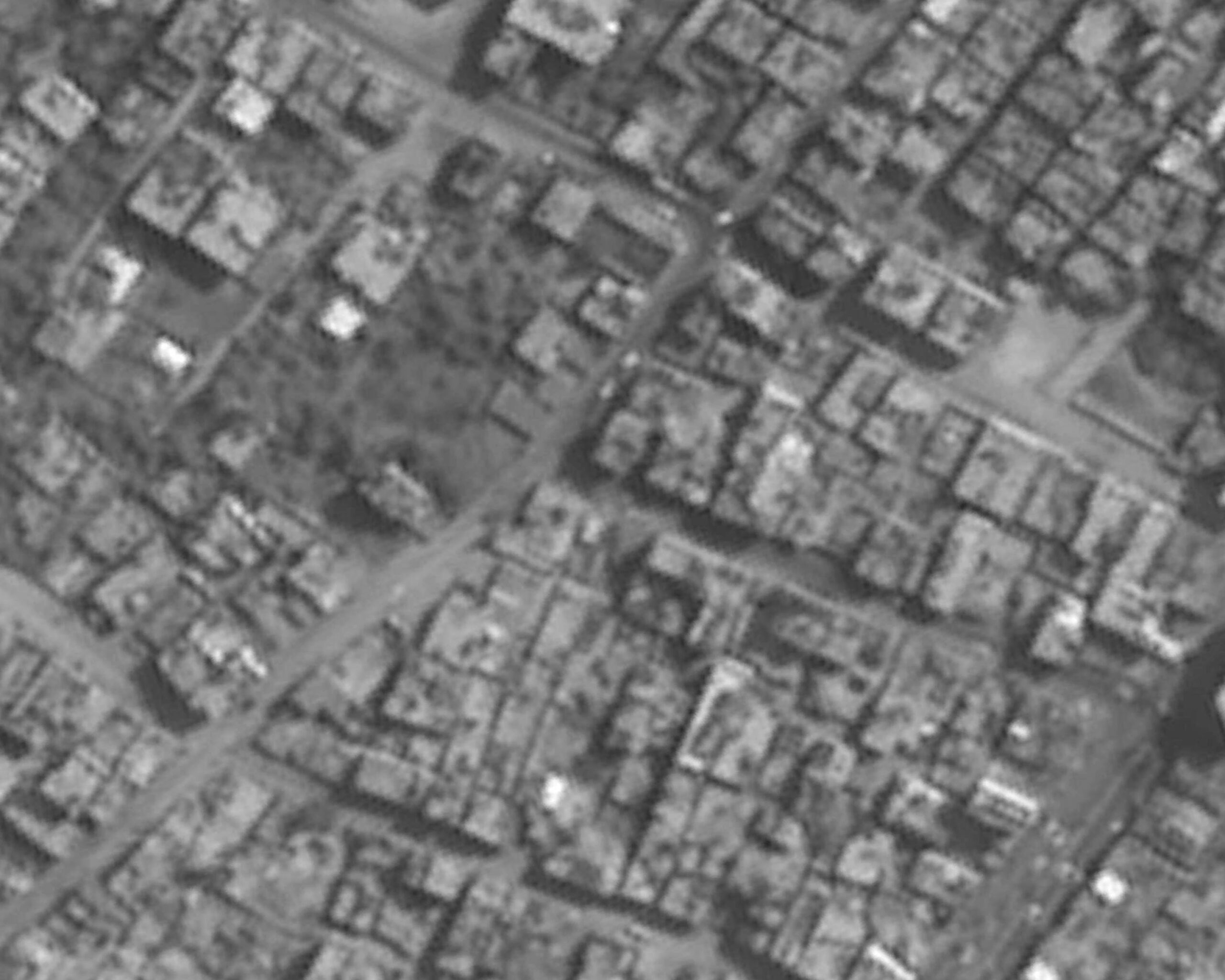
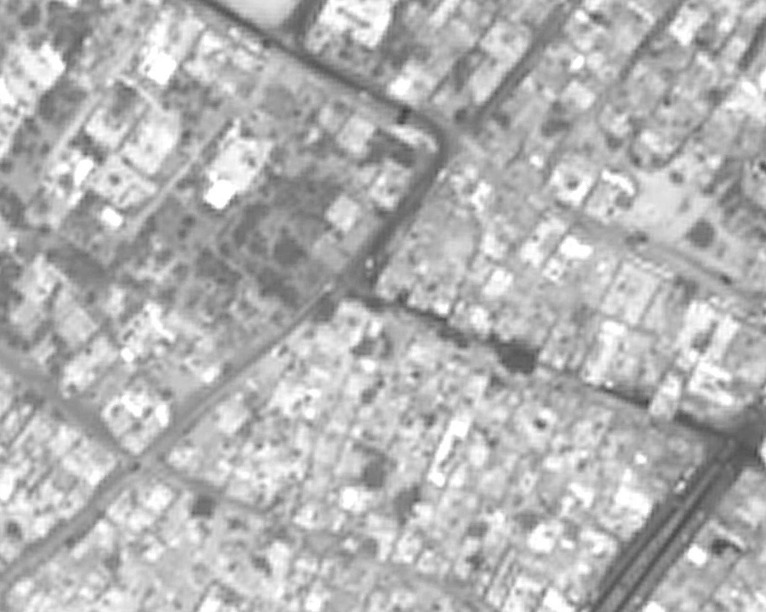
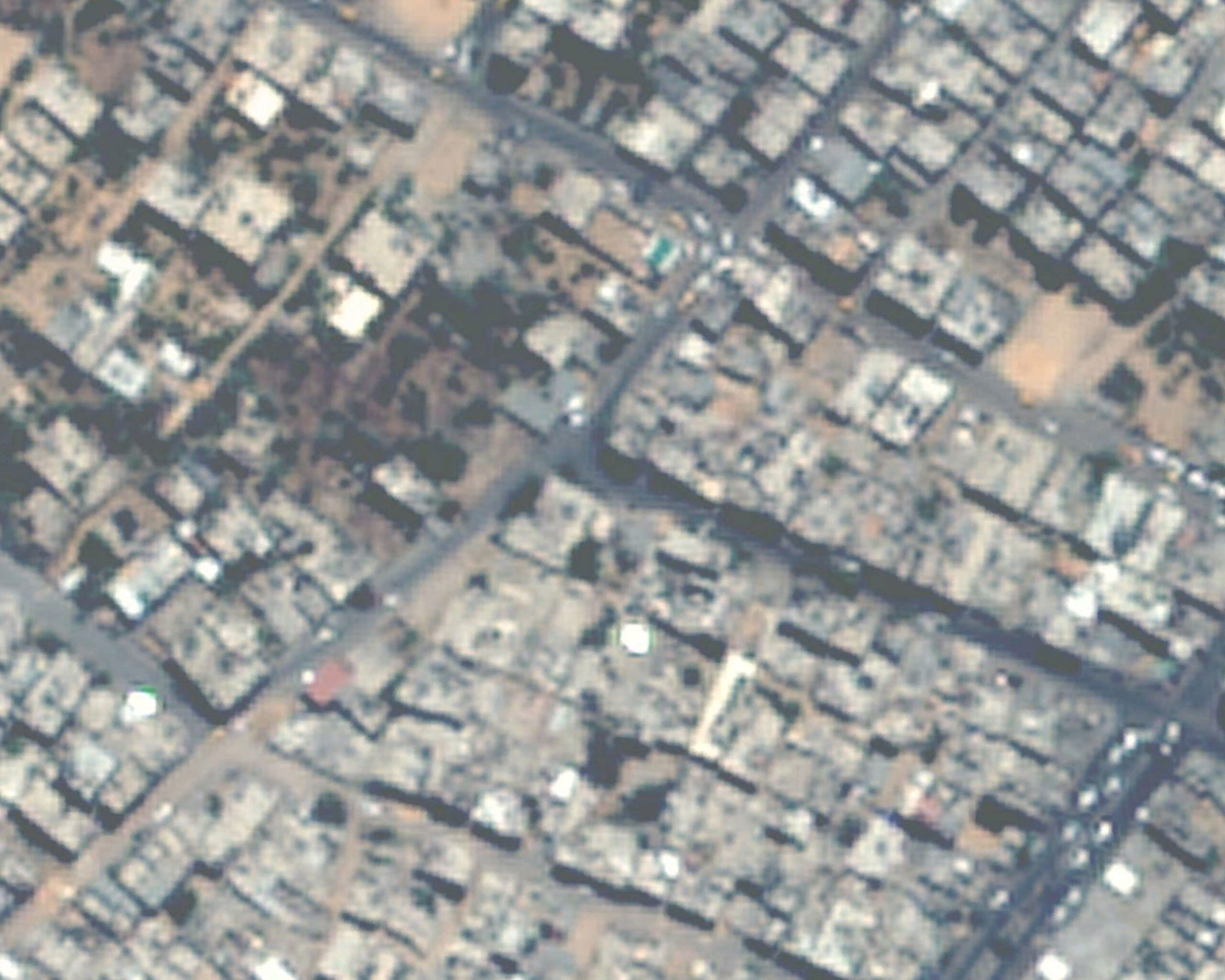
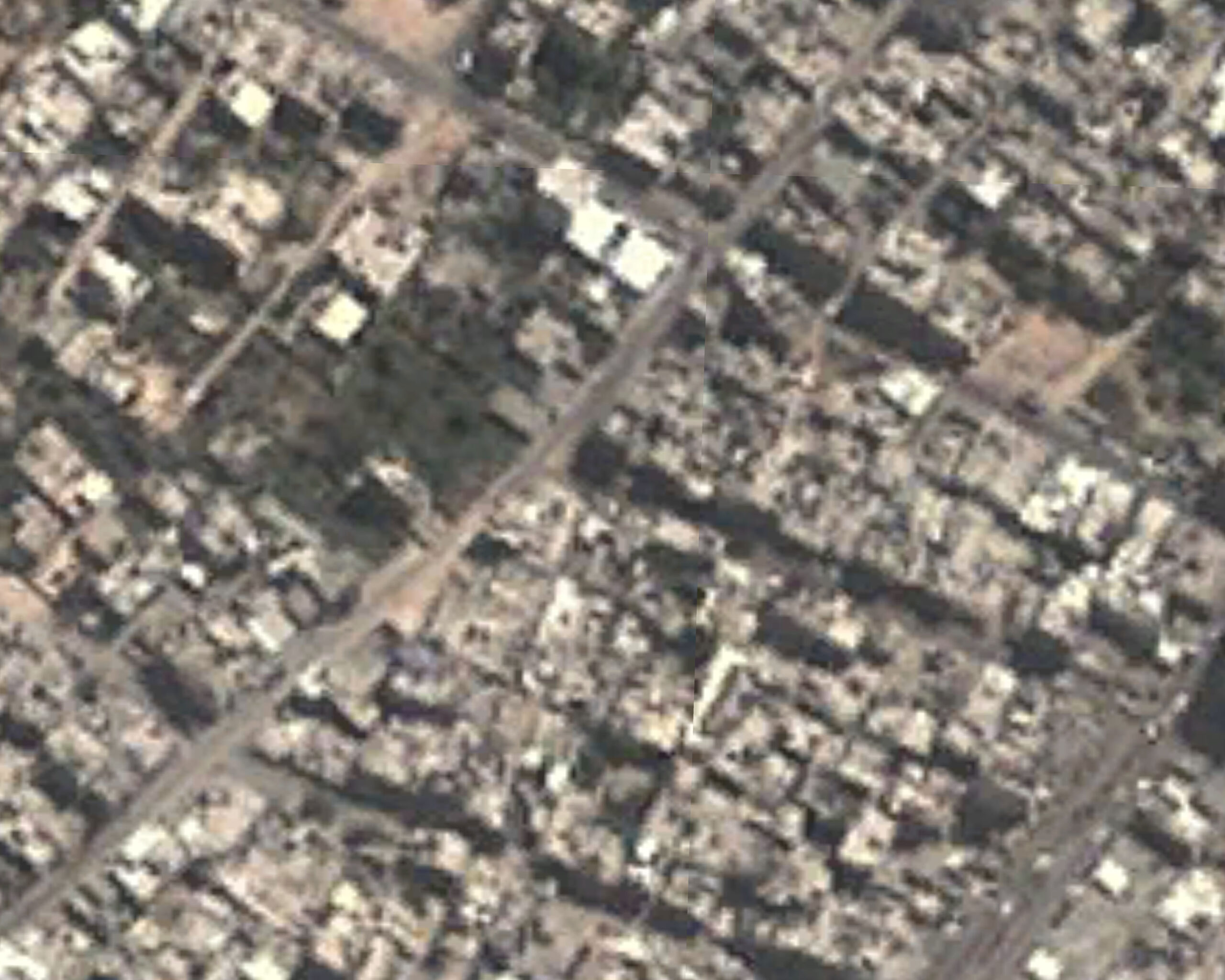
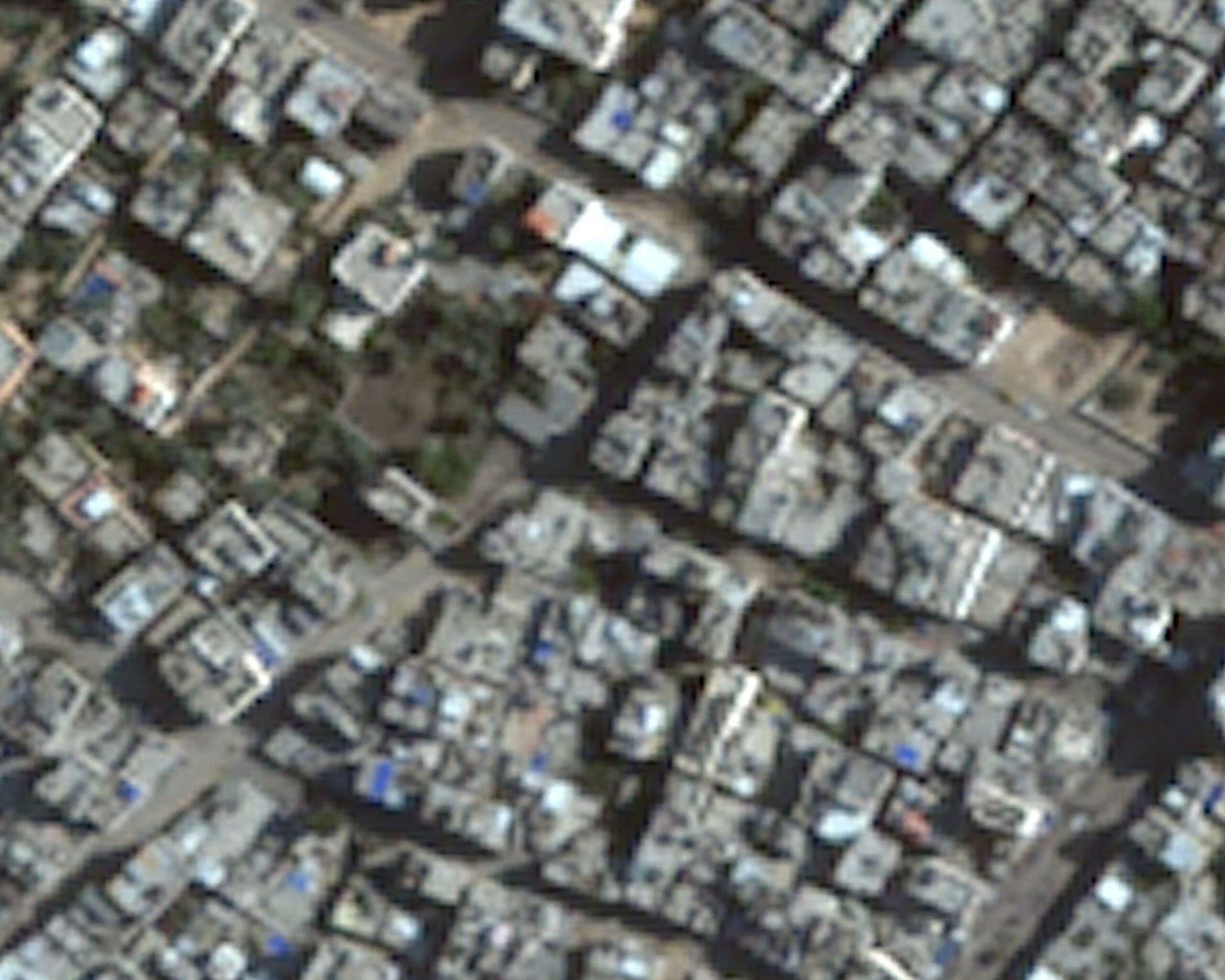
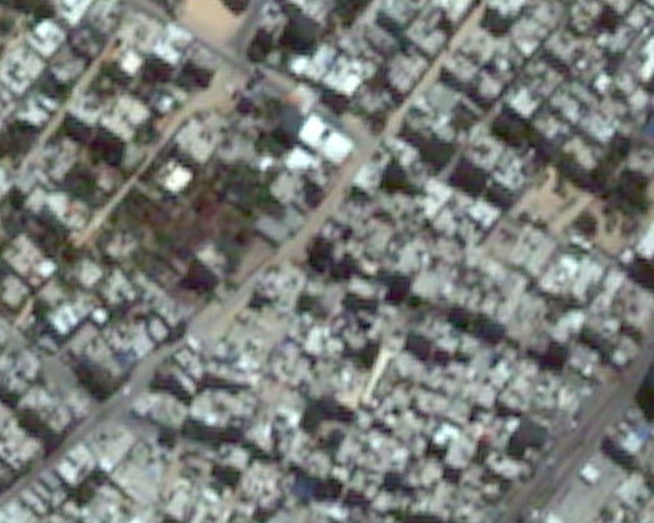
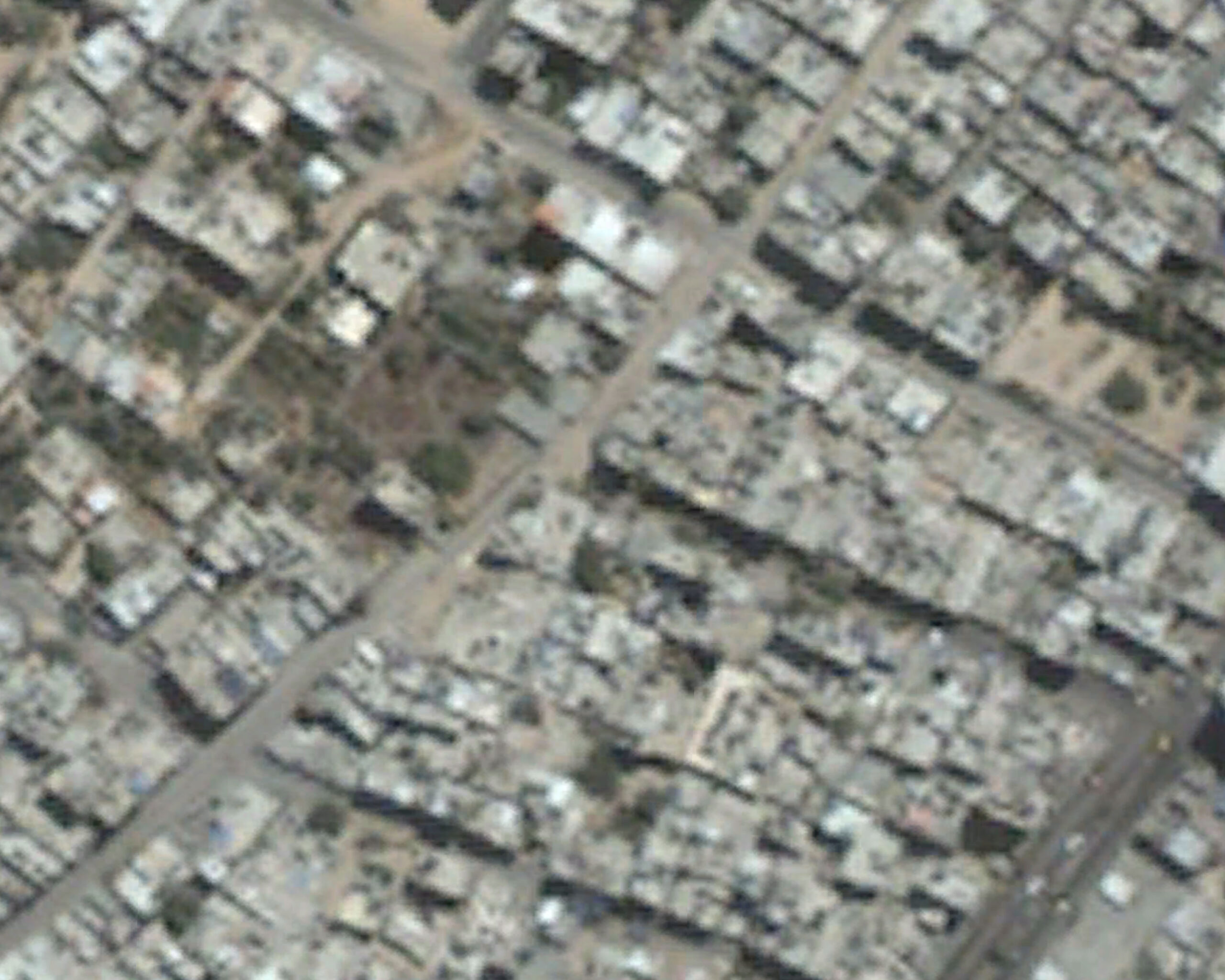
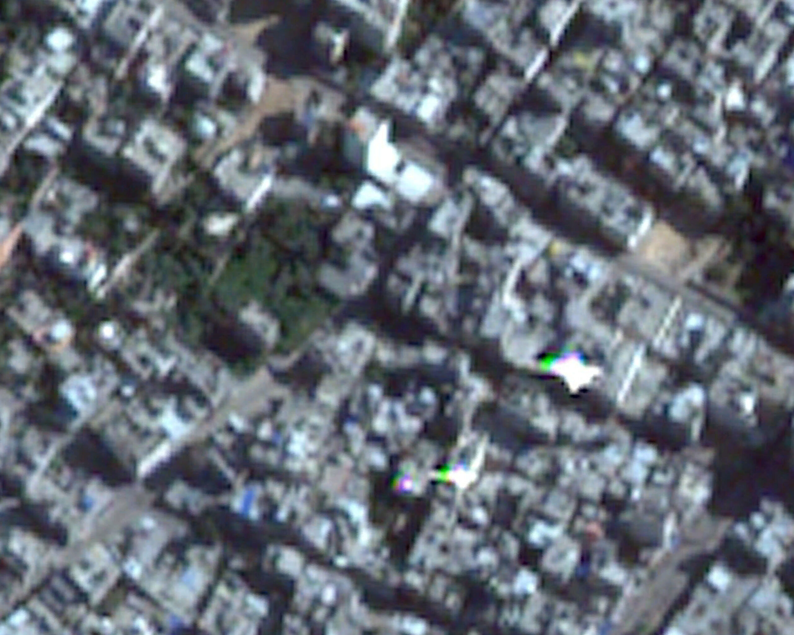
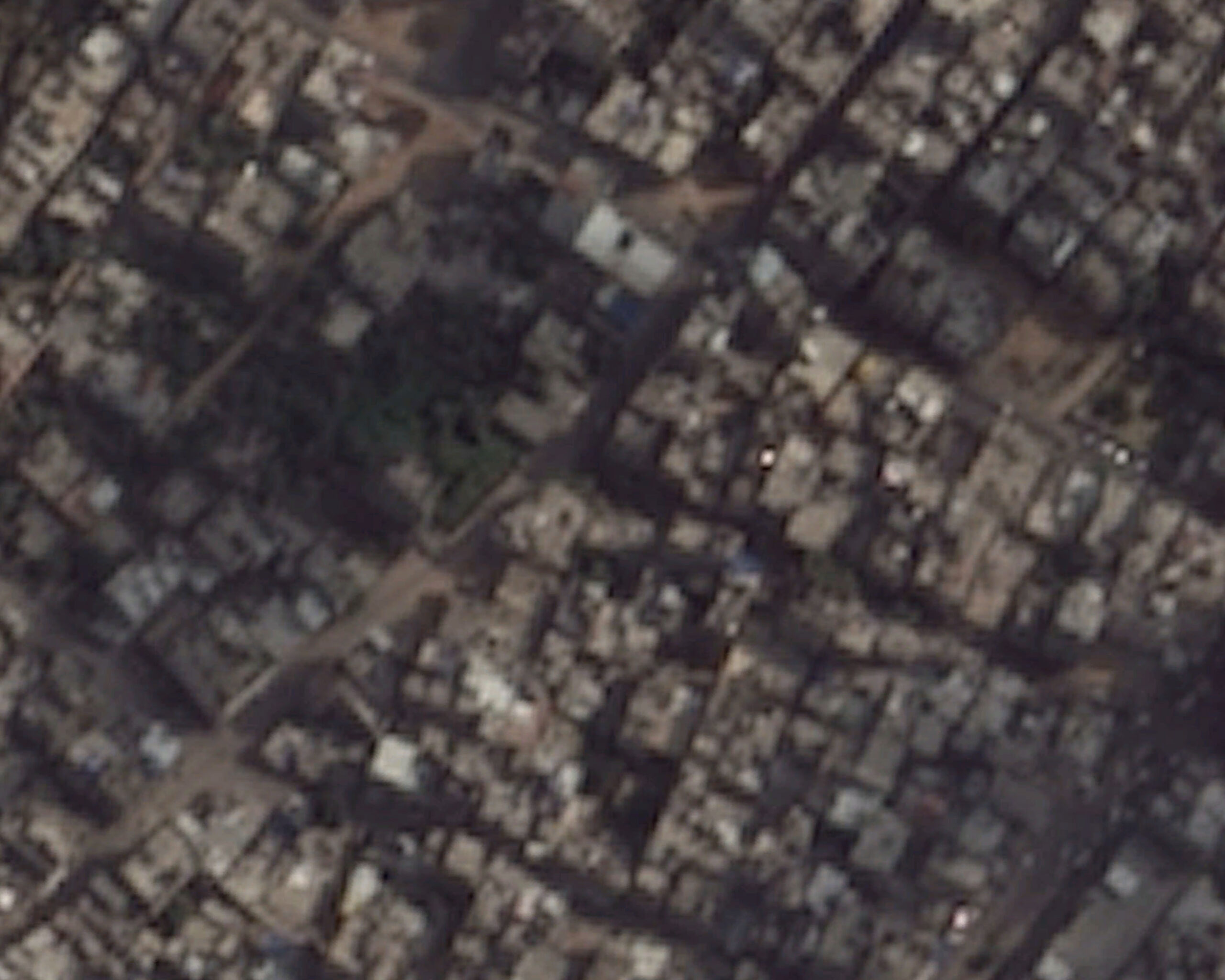
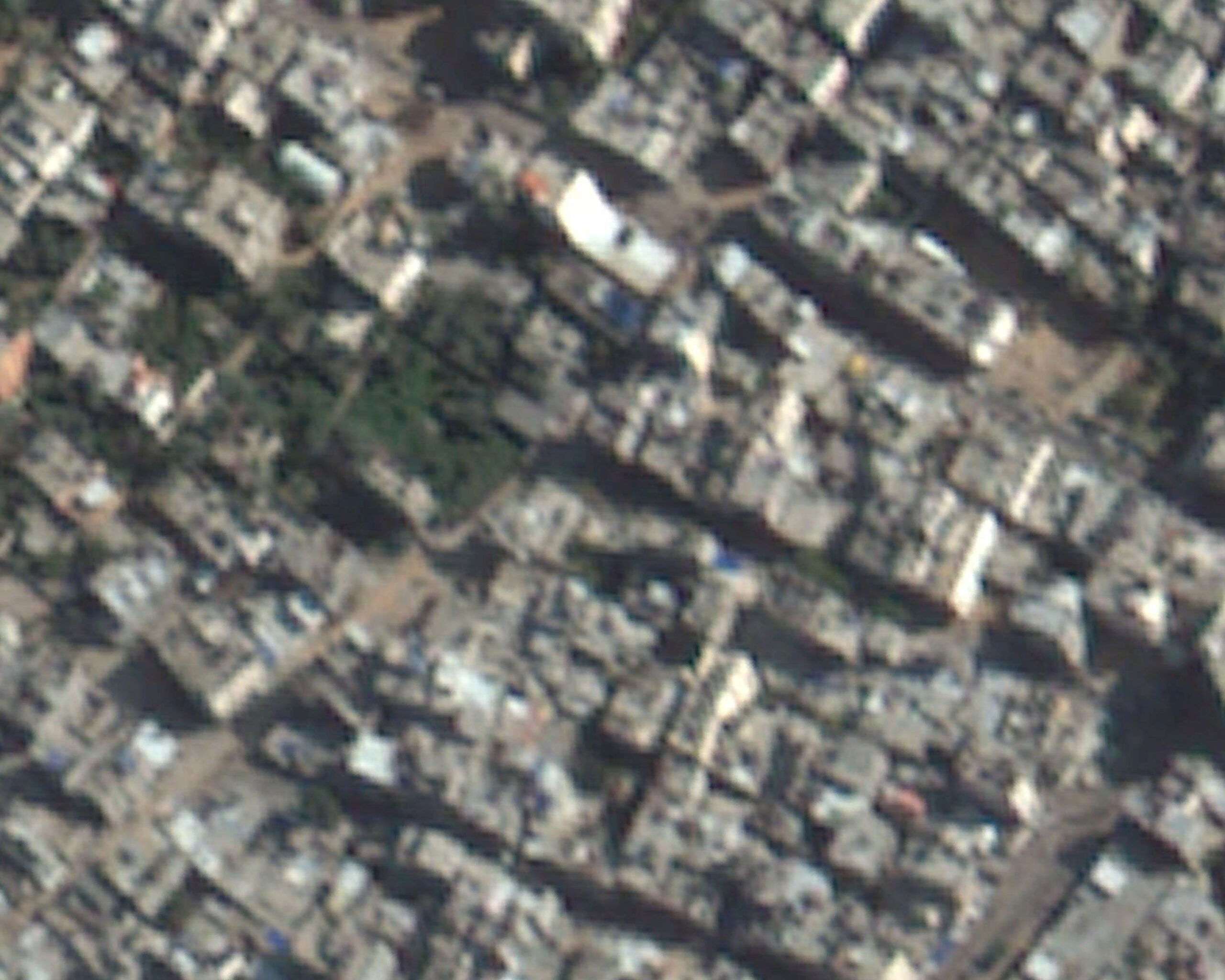
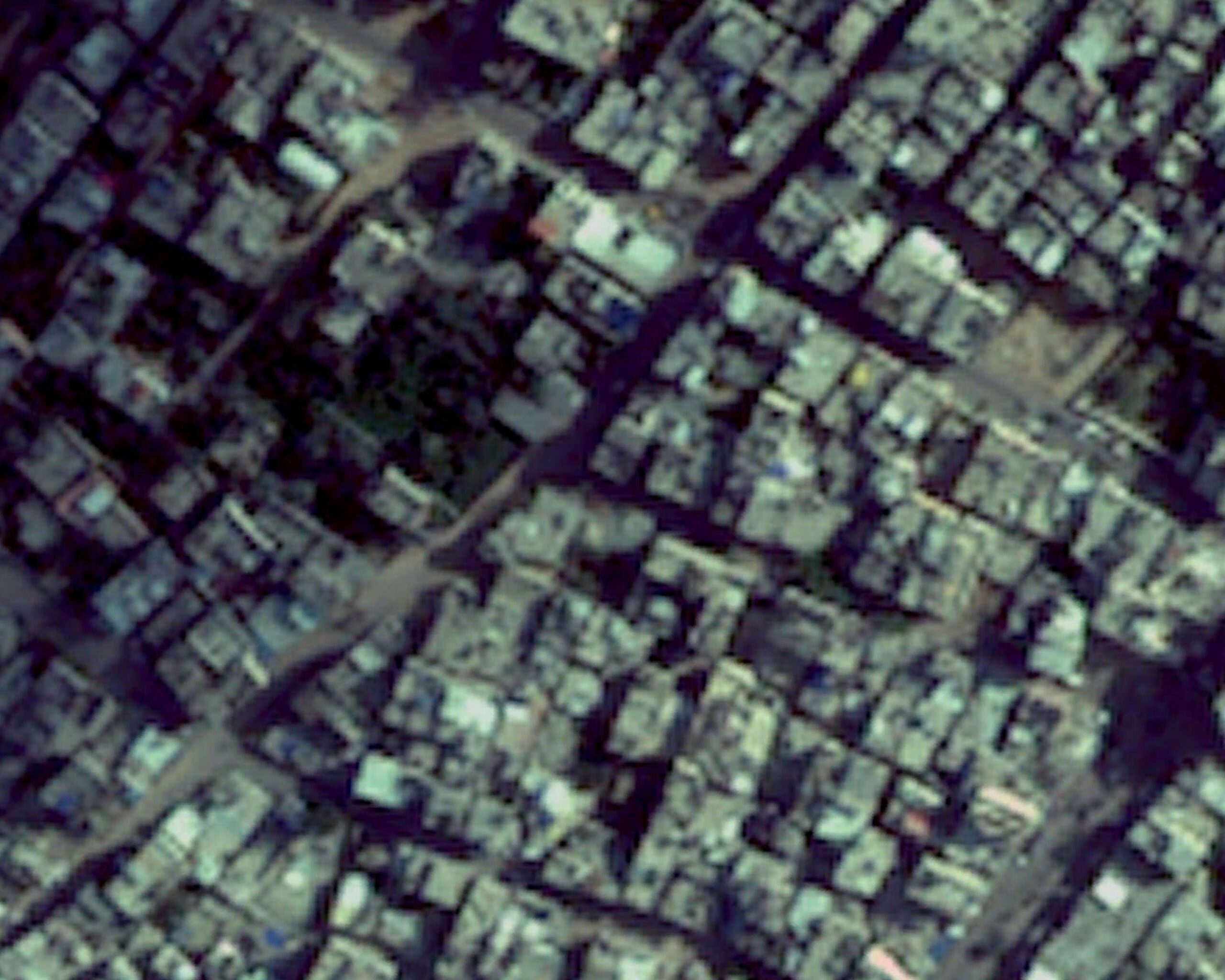
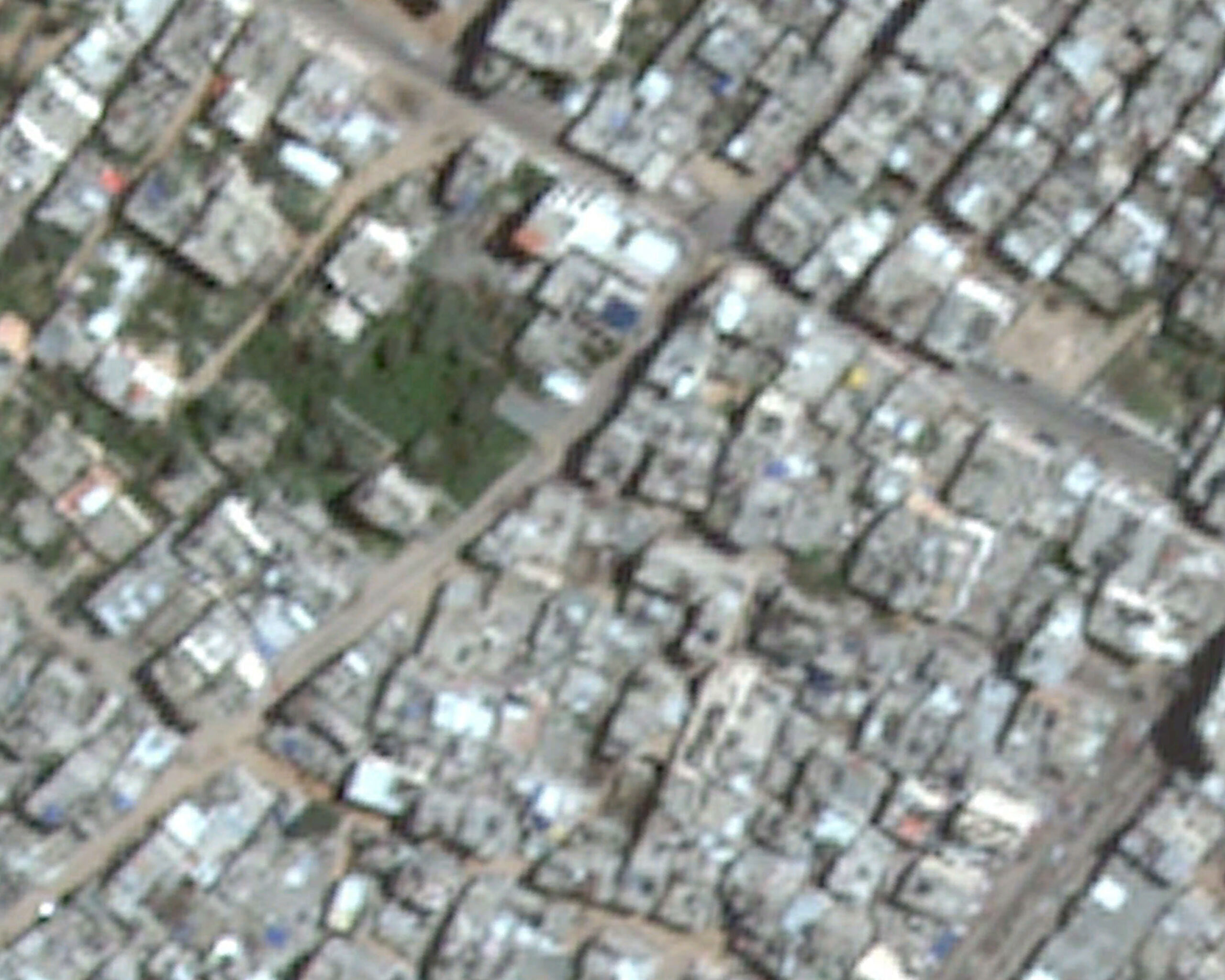
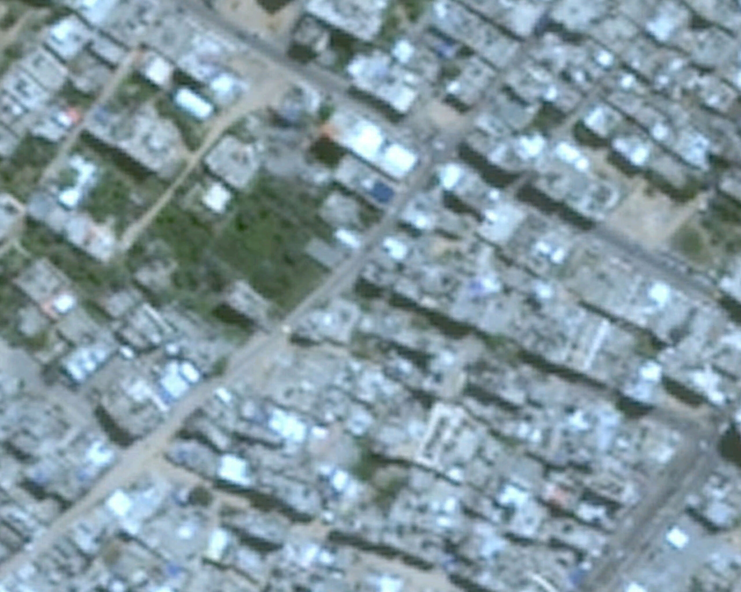
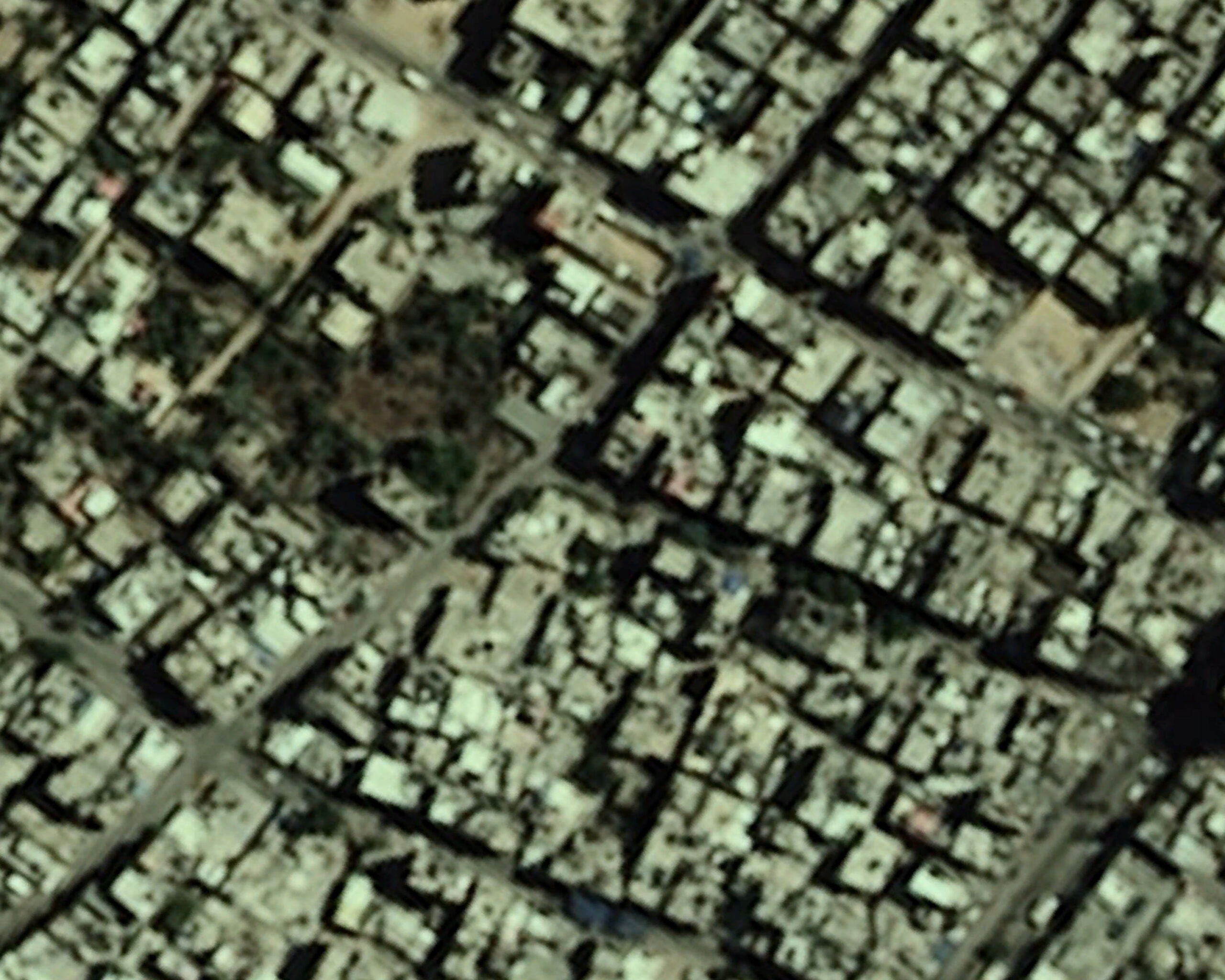
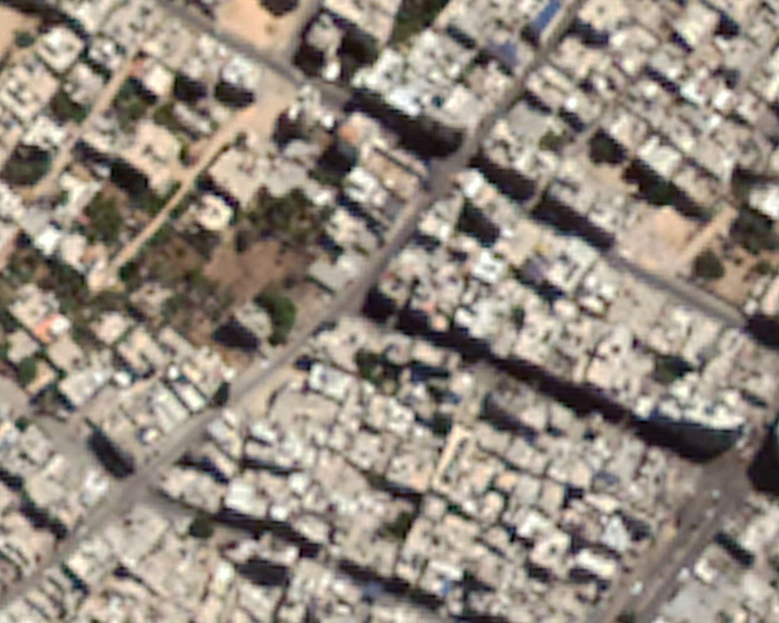
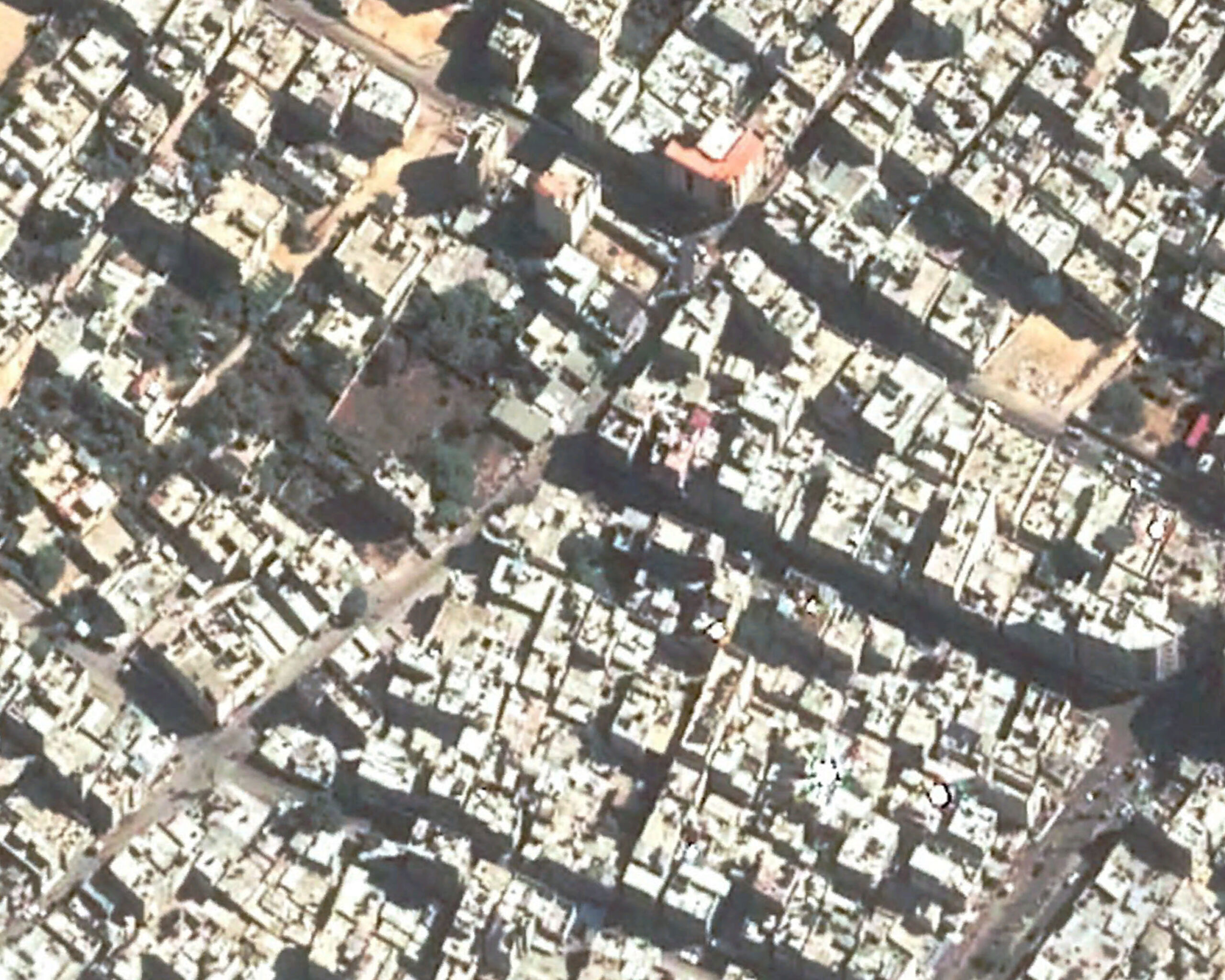
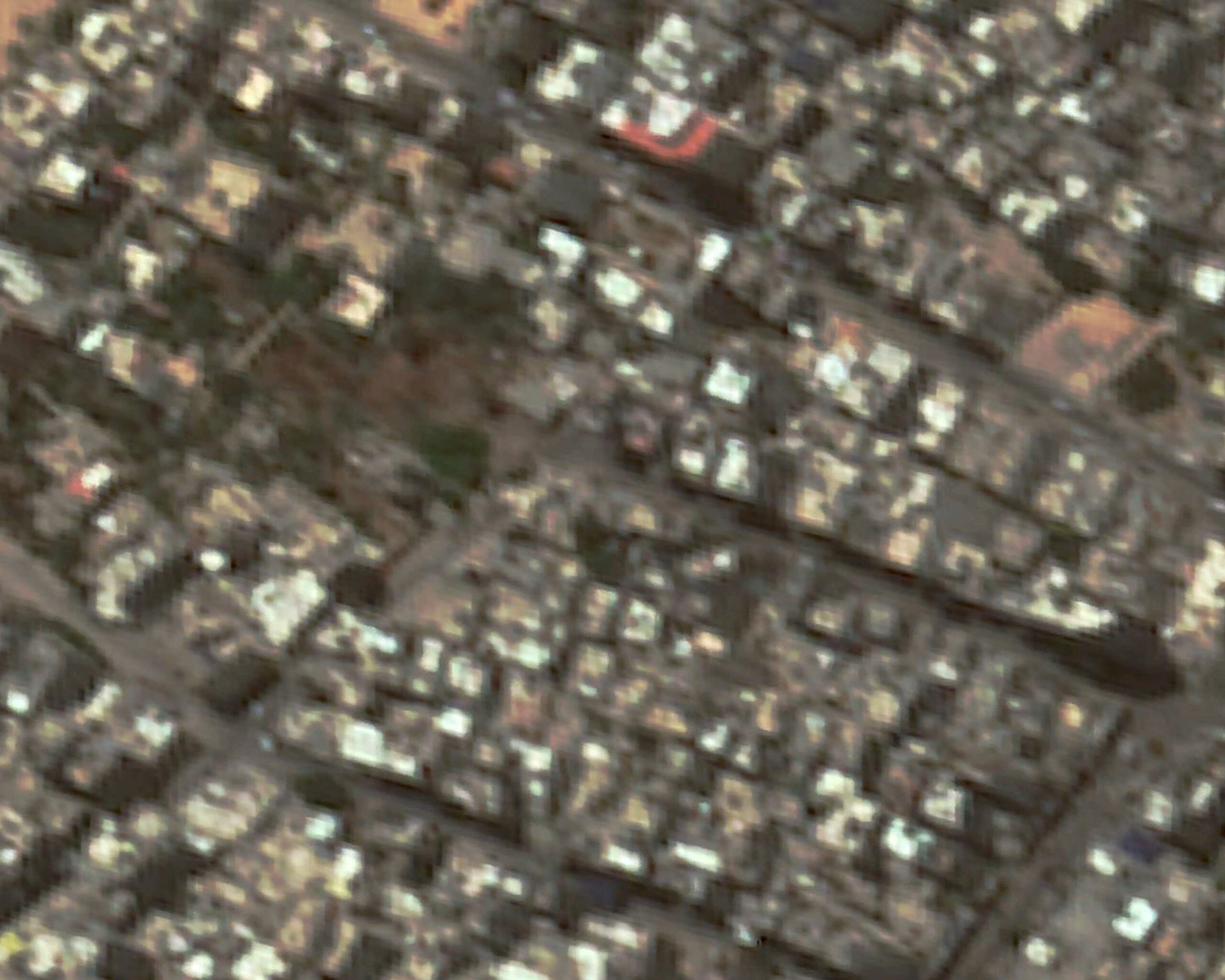
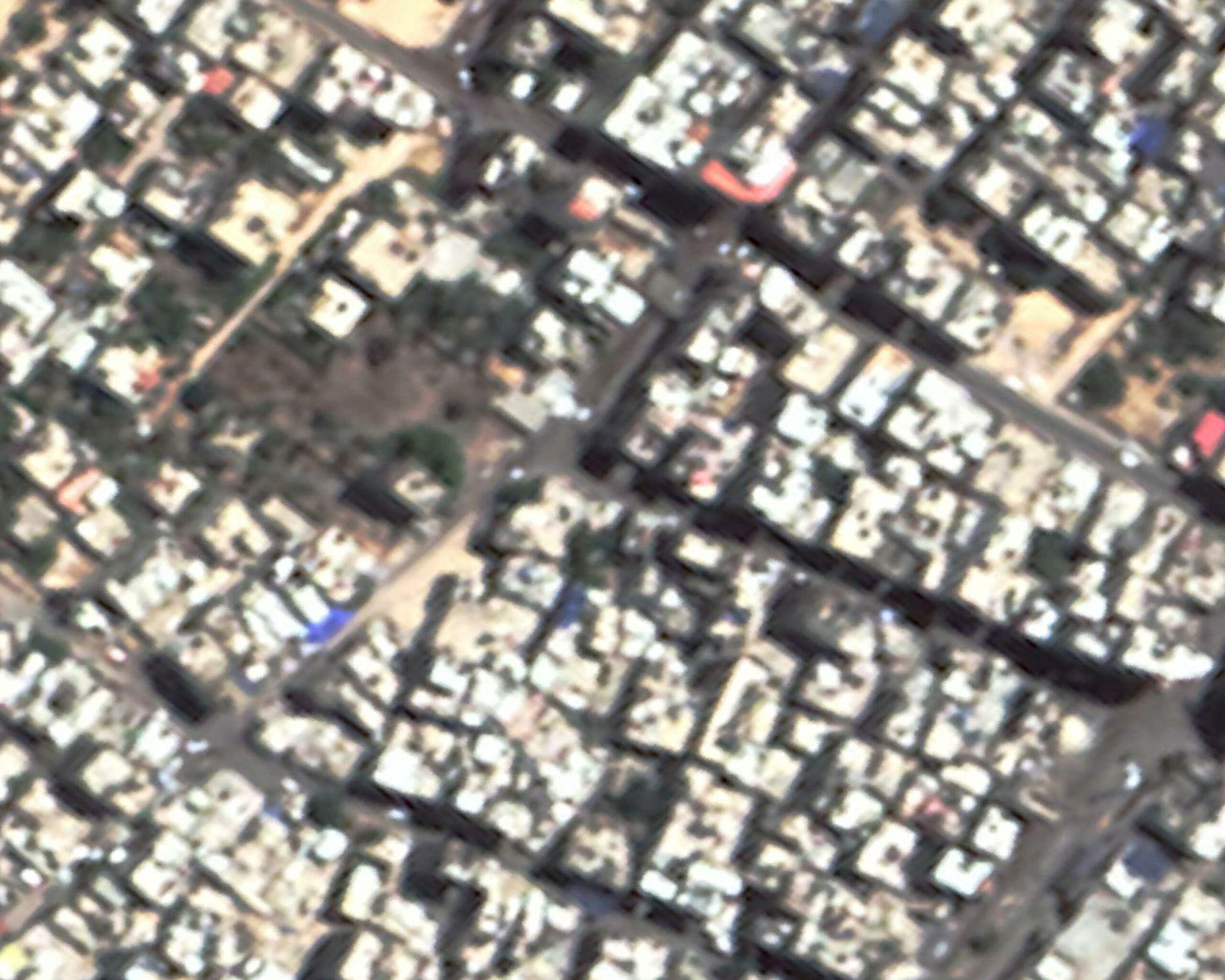
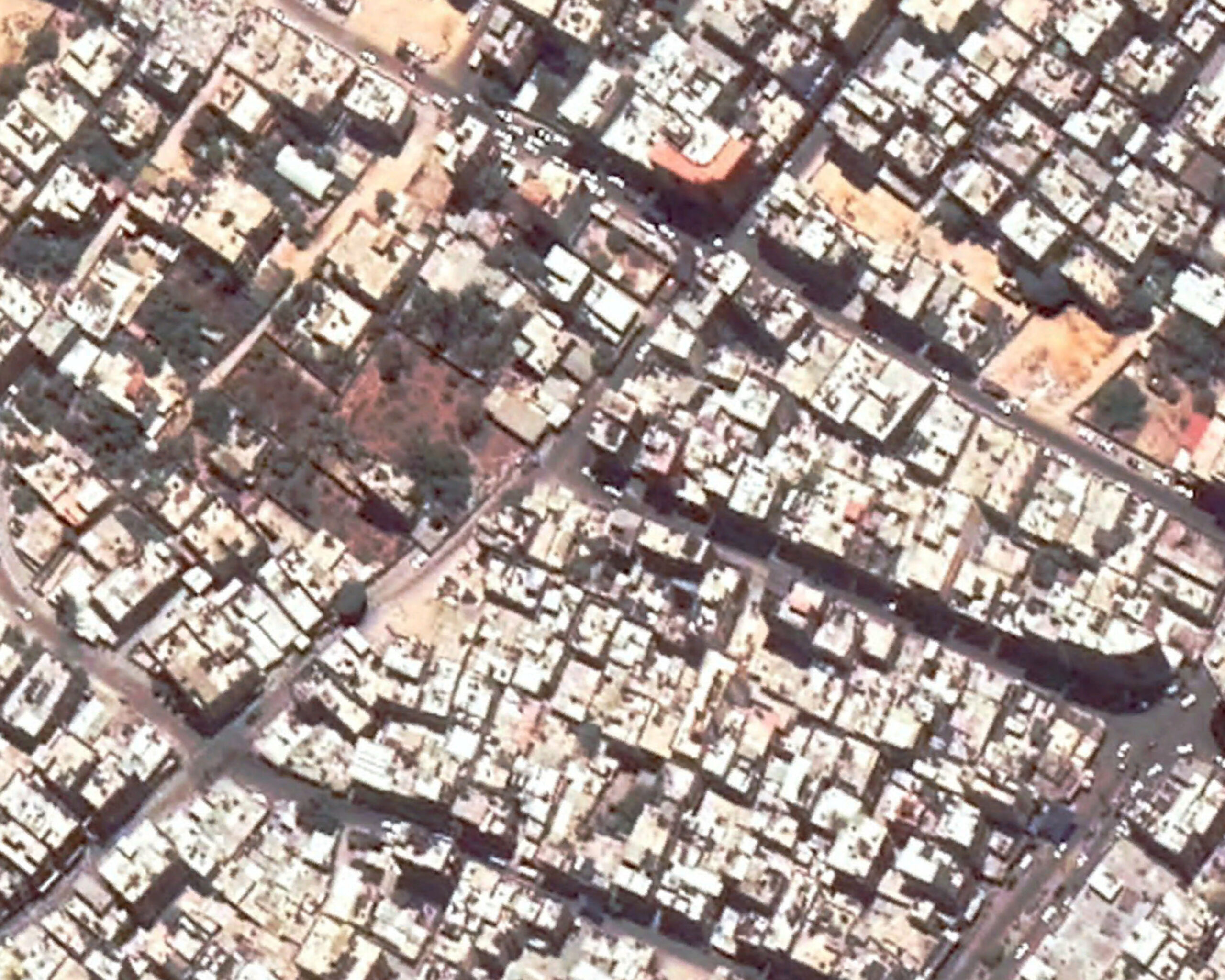
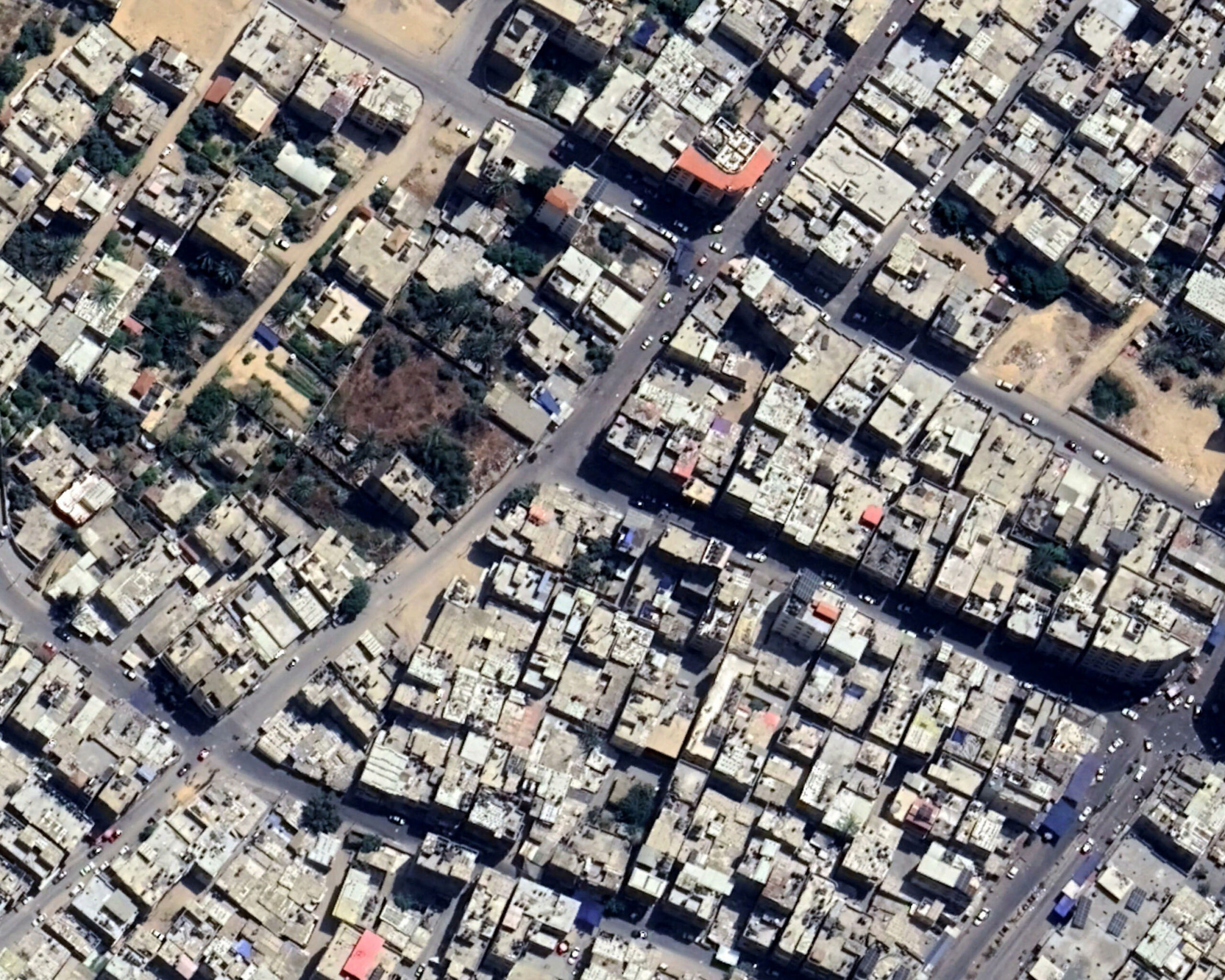
Exploring the Gaza Strip through Google Earth satellites, I focused my attention on a limited portion of the territory, which I subsequently analyzed using the software’s time function. Traveling back in time, I therefore extrapolated 24 images captured by the satellites in a range of years between 1985 and 2022.
What happens when we look at these images? How does our Western gaze, anesthetized by the immense amount of images it receives every day, decode them?
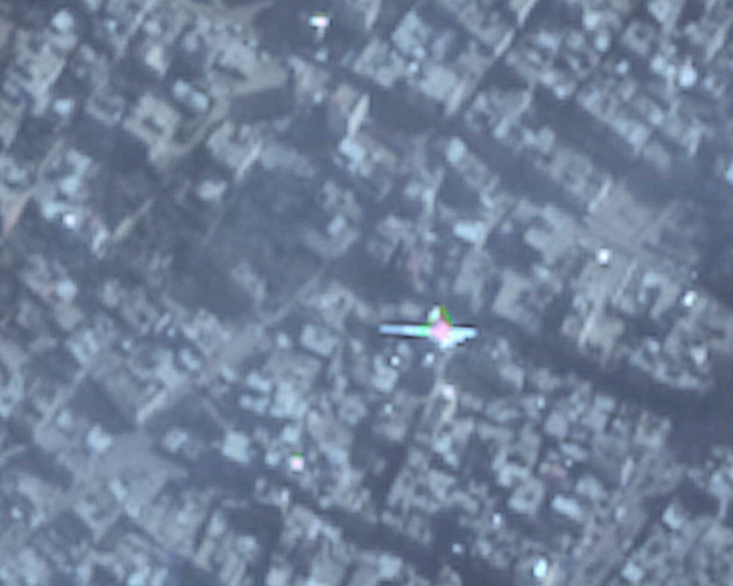
Satellite visions similar to images from combat drones that seem to show the instant before a bombing.
Each individual image in the series represents a time window that not only makes explicit the physical changes in the territory, but also the repercussions of complex geopolitical events. A spatial analysis that becomes a synthesis of a distant Western gaze that reacts and relates to suffering and destruction in an irrational way.
(2024)